Overview
Bunganut Pond was created in the early 1800s as a source of water power for the sawmill constructed by the Shaker Community of Alfred, Maine. A religious organization based on celibacy, hard work and good deeds, the Shakers were some of the best craftsman of their day. The stonework of the dam remains a testament to their skill. Their work survived until the mid 1950’s, when it washed out and was rebuilt by the Maine National Guard.
In the early twenty-first century the dam was threatened by massive run-off from an extremely wet spring. Only prompt action by volunteers and almost a foot of sandbags prevented a major washout. This washout would have been compounded downstream, as all the downstream dams were already at capacity and the water level almost up to many bridges.
Following this near miss, the dam face was rebuilt using Pond Association funds and private donations. The dam face was raised back to the original height, as determined by the original Shaker stonework at the sides. A deeper spillway was also constructed, with boards adjusting the lake level back to that maintained by the spillway installed in the 1950s.
The Bunganut Pond Association remains committed to maintaining the pond as it has been for over 200 years, a medium size body of clean water that can be enjoyed for generations to come.
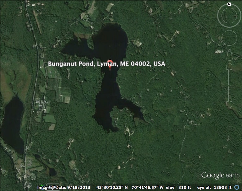
Lyman Twp., York Co. Area: 325 acres
Maximum depth: 43 ft. Temperatures: Surface: 78F 40 Feet: 51F
U.S.G.S. Waterboro, Me. (7.5′)

Map of Bunganut Pond Circa 1859
Map of Bunganut Pond circa 1962